LA Fires: A Deep Dive into the Devastating Wildfires Impacting Los Angeles and California
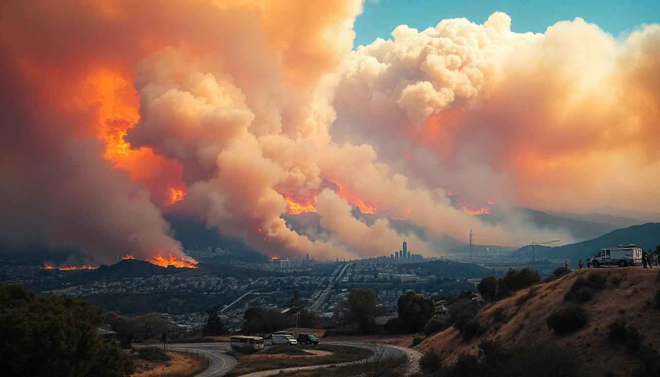
Los Angeles, renowned for its iconic skyline and sunny weather, is no stranger to natural disasters, and in 2025, the LA fires have proven to be particularly devastating. These wildfires have led to widespread destruction, loss of lives, and significant damage to homes, businesses, and landmarks. As firefighters battle the blazes, it is crucial to understand the scope and impact of these fires, how they started, and the ongoing efforts to contain them.
The Scope of the LA Fires: A Rising Toll
The LA fires began in early January 2025, spreading across vast areas of Los Angeles County, including the Pacific Palisades, Altadena, and Malibu. The devastation is extensive, with over 2,000 buildings destroyed, including homes, historic landmarks, and schools. Tragically, the confirmed death toll has risen to 10 as of January 9, 2025, with several others seriously injured or displaced. The fires have forced over 130,000 residents to evacuate, as fire crews continue to fight the flames in an attempt to bring the situation under control.
Key Fires: The Palisades and Eaton Fires
Two of the most significant blazes impacting Los Angeles are the Palisades Fire and the Eaton Fire.
Palisades Fire:
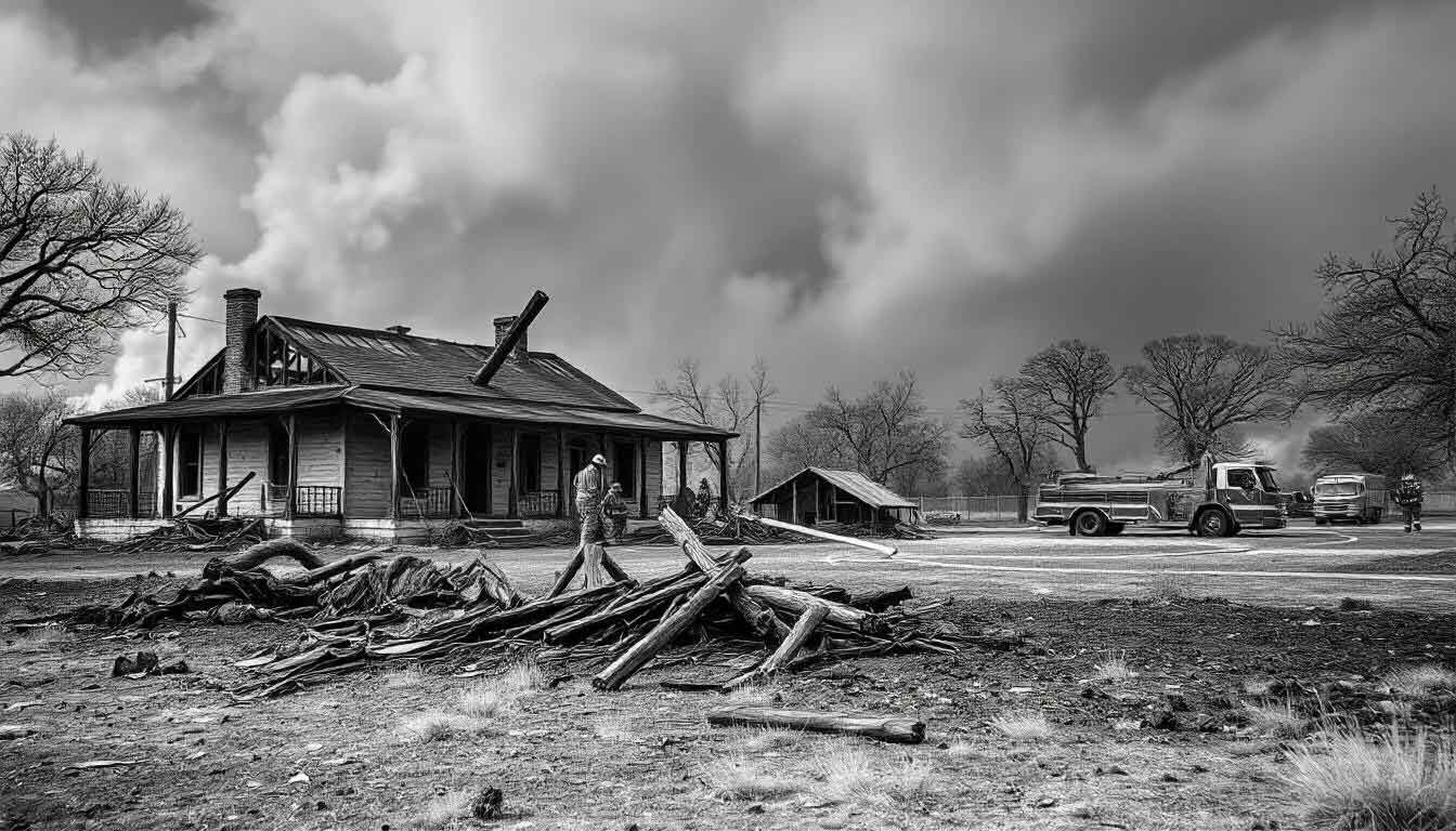
The Palisades Fire in the Pacific Palisades, a high-end residential neighborhood, has wreaked havoc on both homes and historic landmarks. This fire has claimed the homes of several celebrities, including Paris Hilton, Billy Crystal, and Jamie Lee Curtis, along with prominent structures like the Will Rogers State Historic Park and Palisades Charter High School. Although the Getty Villa remains intact, nearby areas like Reel Inn and The Malibu Feed Bin have not been as fortunate, with both businesses reduced to rubble. The cause of the Palisades Fire remains under investigation, but it is believed that dry conditions, strong winds, and human activities may have contributed to the rapid spread.
Eaton Fire:
In Altadena, the Eaton Fire has scorched nearly 14,000 acres. Initially, the fire claimed five lives, and while the flames are slowly being contained, the damage to the community is significant. The Eaton Canyon area, home to popular hiking trails and natural parks, has suffered devastating effects. The fire’s destruction also forced the evacuation of nearby homes, with many residents still unable to return due to ongoing fire risks and hazardous conditions.
Celebrity Homes and Hollywood Landmarks
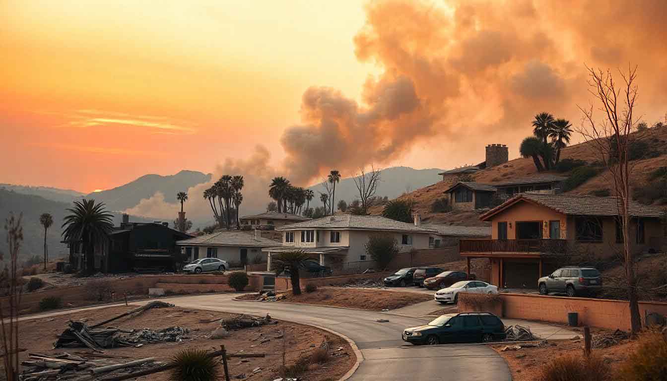
In addition to residential losses, several landmarks and celebrity homes have been impacted by the LA wildfires. The Hollywood Sign, one of the most recognized symbols of Los Angeles, was fortunately spared from the flames, although the threat of fire reaching the iconic site was high at one point. However, Hollywood Hills and neighborhoods around Sunset Boulevard have faced intense fire activity, with many famous figures losing their properties.
Notable homes lost in the fires include:
- Actor Adam Brody and his wife Leighton Meester.
- Actress Ricki Lake lost her Malibu dream home.
- Cary Elwes and Melissa Rivers also reported their homes destroyed.
- James Woods shared videos of his evacuated home, which was later confirmed to have burned.
The emotional toll on these celebrities is immense, as they are forced to deal with the loss of their homes while their neighbors and the larger community also struggle with the consequences of these fires. Despite the personal losses, many have expressed gratitude for their safety and the efforts of the firefighters.
The Los Angeles Fire Map: Understanding the Geography of the Fires
To keep residents and officials informed, the LA fire map has become a critical tool during these wildfires. Websites and apps provide real-time updates on the fire’s path, evacuation zones, and containment efforts. These maps highlight the ongoing danger areas, including Pacific Palisades, Eaton Canyon, and other parts of Los Angeles. Tools like the California Fire Map and LA Fire Evacuation Zone Map allow people to track the fires in real time, helping to guide evacuation efforts and provide critical information to those affected.
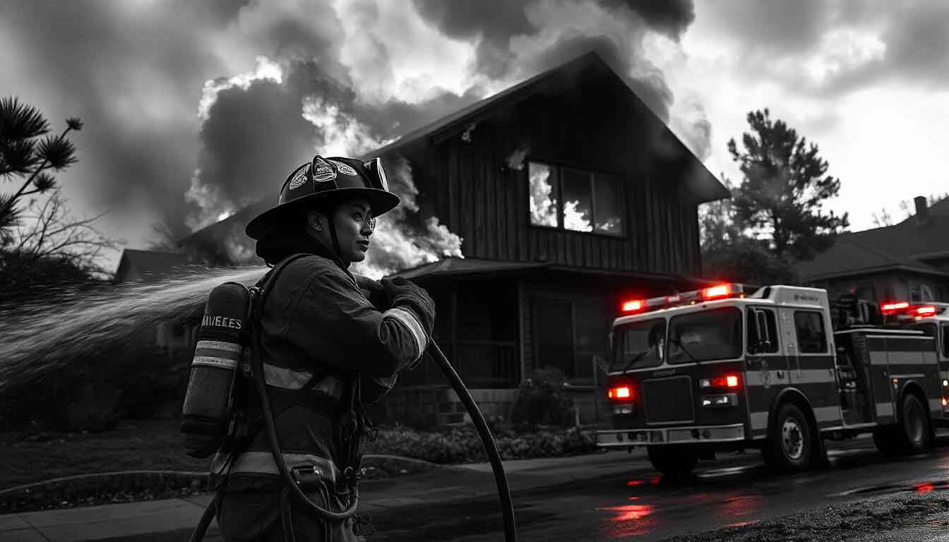
The Los Angeles Fire Department (LAFD) and Cal Fire (California Department of Forestry and Fire Protection) have been working tirelessly to contain the fires. While some fires are now at containment levels of 50-60%, there are still spot fires, hazardous air conditions, and ongoing evacuations in several parts of the city.
What Started the Fires?
The cause of the fires remains under investigation, but experts suggest that dry conditions, high winds, and a long-standing drought are contributing factors. The combination of these environmental conditions, alongside the potential for human activity, has led to the rapid spread of flames. In the case of the Palisades Fire, authorities are looking into the possibility of a spark from an electrical malfunction or an unattended campfire.
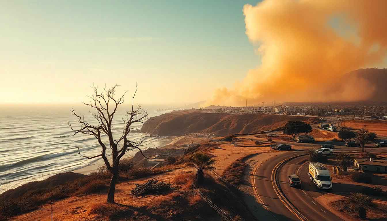
In many cases, wildfires are also exacerbated by climate change, which has made California more vulnerable to extreme heat, low humidity, and strong winds. The California wildfires, including these most recent ones in LA, highlight the urgent need for action to address climate change and improve fire prevention and mitigation strategies.
The Role of Evacuation Orders and Fire Containment
As the fires raged across the city, evacuation orders were issued for many neighborhoods, including Altadena, Pacific Palisades, and Malibu. The fire’s unpredictable behavior made it difficult to determine safe zones, and residents were urged to evacuate immediately if they were in the affected areas. The fire containment percentage fluctuates daily, with authorities constantly updating fire maps to reflect the evolving situation.
In Malibu and Santa Monica, businesses like Moonshadows Malibu were completely destroyed, and several landmarks were either damaged or fully razed by the fires. While the Eaton Fire is slowly being contained, the Palisades Fire is still a significant concern, especially with high wind warnings still in effect in some areas.
The Future of Los Angeles Wildfires
While firefighting efforts continue, the threat of LA wildfires persists. The greater Los Angeles wildfires of 2025 serve as a stark reminder of the vulnerability of the city to such natural disasters. Going forward, it will be crucial to develop better wildfire prevention strategies, including better forest management, stricter building codes, and improved emergency response systems.
For those interested in staying informed, the fire update in Los Angeles continues to evolve. Fire evacuation zones and containment levels are updated regularly, and residents are urged to monitor local news outlets like LA Times, KTLA, and the Los Angeles Fire Department website for the latest information. For real-time updates, fire maps such as the LA Fires Map, California Fire Map, and Palisades Fire Map are invaluable.
Conclusion
The 2025 LA Fires have not only devastated homes and landscapes but have deeply affected communities across Southern California. From the destruction of homes in the Pacific Palisades to the tragic loss of life in the Eaton Fire, the fires have shown the dire need for better fire management and climate action. As the fire season continues and containment efforts progress, the people of Los Angeles remain resilient in the face of adversity. Stay informed through the fire map, stay safe, and continue supporting the recovery efforts in the wake of this ongoing disaster.
For more updates on the recovery from the LA fires, please check out this article. To explore related geopolitical events, including a closer look at Trump’s renewed interest in Greenland, read our latest article here.
Stay safe, stay informed, and support those affected by these wildfires.
